Lindenlea
The lindenlea.homes hub covers Lindenlea, bordered by Maple Lane to the north, Acacia Avenue to the east, Beechwood Avenue to the south and Springfield Road to the west. Wikipedia says it was founded in 1919 and planned by Thomas Adams in the garden suburb style. It is split into upper Lindenlea, north of Rideau Terrace, which Adams planned, and lower Lindenlea, which was developed later and includes 1950s brick apartments and the Champlain Towers. New Edinburgh is the neighbouring community.
The Lindenlea area has 1 neighbourhoods: and Lindenlea.
Updated · Facts on this page link to their sources
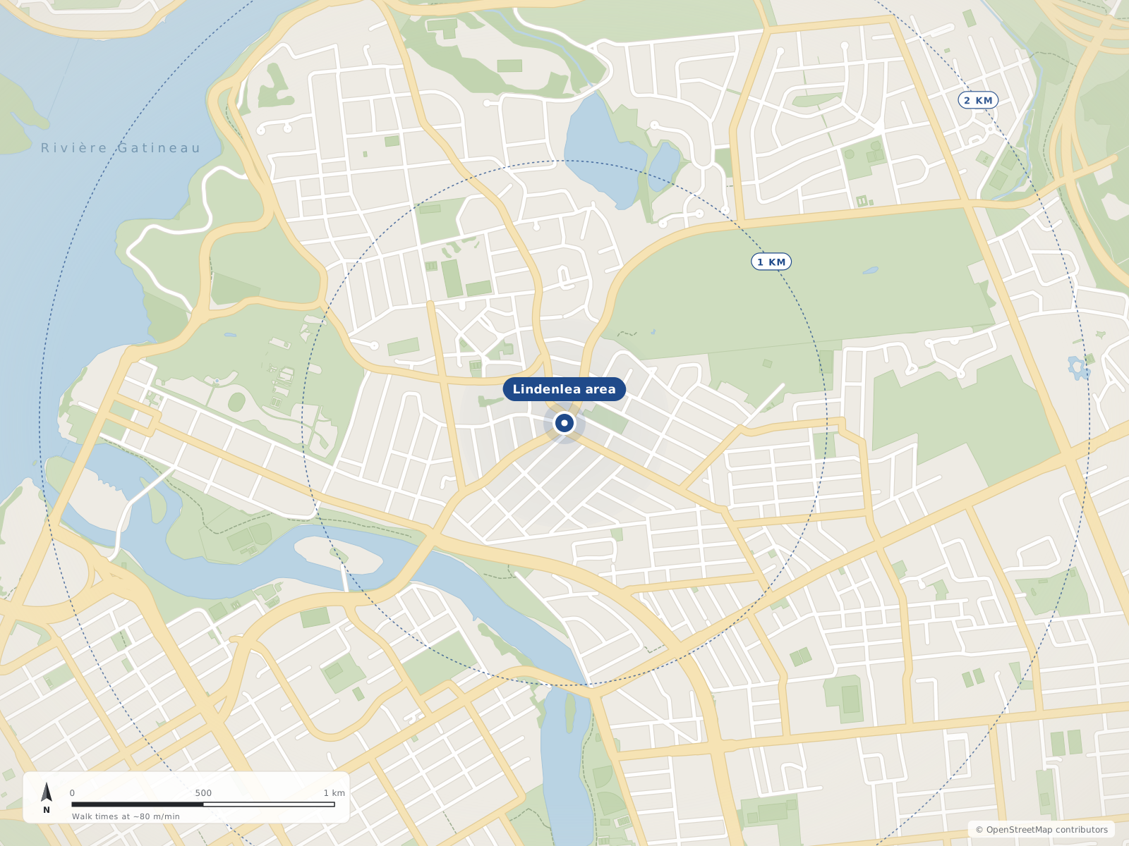
Neighbourhood centres
- 1Lindenlea0 m
- 01
Lindenlea
A planned garden suburb from 1919 in Rideau-Rockcliffe Ward, between Beechwood Avenue and Maple Lane, with its own park and community centre.
Wikipedia gives Lindenlea's borders as Maple Lane to the north, Acacia Avenue to the east, Beechwood Avenue to the south and Springfield Road to the west. It sits in Rideau-Rockcliffe Ward, northeast of downtown Ottawa. New Edinburgh is the neighbouring community. Upper Lindenlea lies north of Rideau Terrace and lower Lindenlea to the south. Our files have no mapped boundary polygon for Lindenlea, so the map marks its centre only.
Quick answers
Short answers first; each links to the full answer and its sources.
Is Lindenlea a good place to live?
Lindenlea is a small planned neighbourhood in Rideau-Rockcliffe Ward, northeast of downtown Ottawa and about 3.1 km in a straight line from Parliament Hill. Metro (50 Beechwood Avenue) and a butcher (127 Beechwood Avenue) are on Beechwood, and Lindenlea Park and a community centre are at 15 Rockcliffe Way.
As of 2026-10 · en.wikipedia.org router.project-osrm.org
What are homes like in Lindenlea?
Lindenlea was planned in the garden suburb style, and most of its homes have large back yards. Upper Lindenlea is the older, Thomas Adams–planned section, while lower Lindenlea includes a mix of 1950s brick apartments, the Champlain Towers complex (built in 1962) and Springfield Mews (built in the 1980s).
As of 2026-10 · en.wikipedia.org
Where is Lindenlea in Ottawa and what are its boundaries?
Lindenlea is a neighbourhood in Rideau-Rockcliffe Ward, northeast of Downtown Ottawa. It is bordered by Maple Lane to the north, Acacia Avenue to the east, Beechwood Avenue to the south and Springfield Road to the west.
As of 2026-10 · en.wikipedia.org
How many people live in Lindenlea?
Lindenlea had 1,702 residents in the 2016 census, according to Wikipedia. We do not have a Lindenlea figure from the 2021 census.
As of 2026-10 · en.wikipedia.org ons-sqo.ca
Which City of Ottawa ward is Lindenlea in?
Wikipedia lists Lindenlea as a neighbourhood in Rideau-Rockcliffe Ward, northeast of Downtown Ottawa.
As of 2026-10 · en.wikipedia.org
What are upper and lower Lindenlea?
Lindenlea is divided into upper Lindenlea, north of Rideau Terrace, and lower Lindenlea. Only upper Lindenlea was planned by Thomas Adams.
As of 2026-10 · en.wikipedia.org